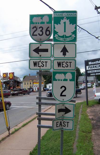
Signage in Charlottetown.
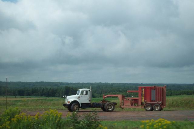
PS16 - en route
(All photos by William Matheson)
Signage in Charlottetown.
The western terminus of the Charlottetown Bypass. It's a good road,
but there are problems - some sections are only two-lane, and there are
many traffic light stops with no alternatives (such as roundabouts like
you would see in a UK town of similar size) and therfore the waits can
be quite long during rush hour (in fact, I believe Charlottetown traffic
in summertime is worse than Halifax's), and there are only two over/underpasses
- these are not interchanges, and they count for 2/3 of the Island's total
"overpasses" - the third is part of the 1/1A interchange (the Island's
only) near Borden-Carleton.
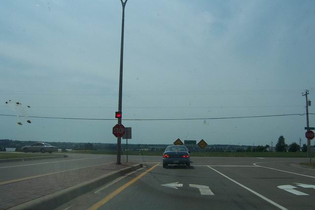
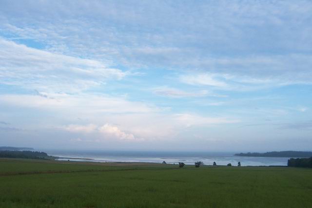
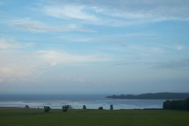
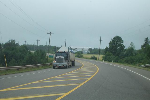
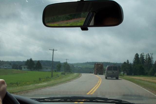
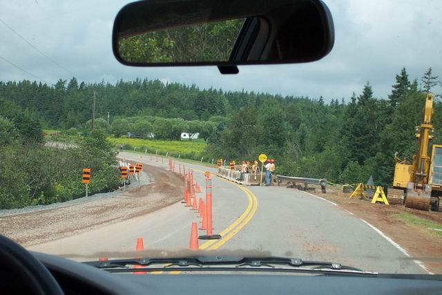
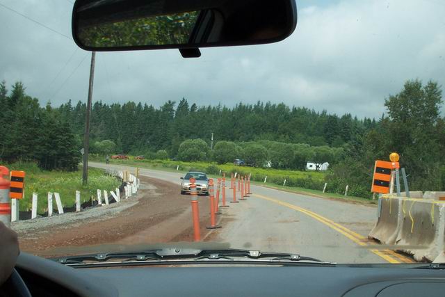
Some pictures from a lookoff beside Highway 2 in Rollo Bay:
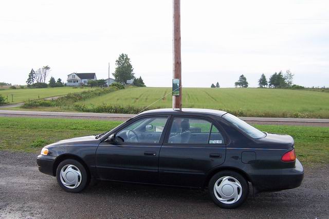
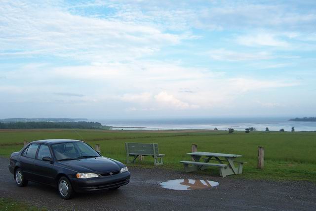
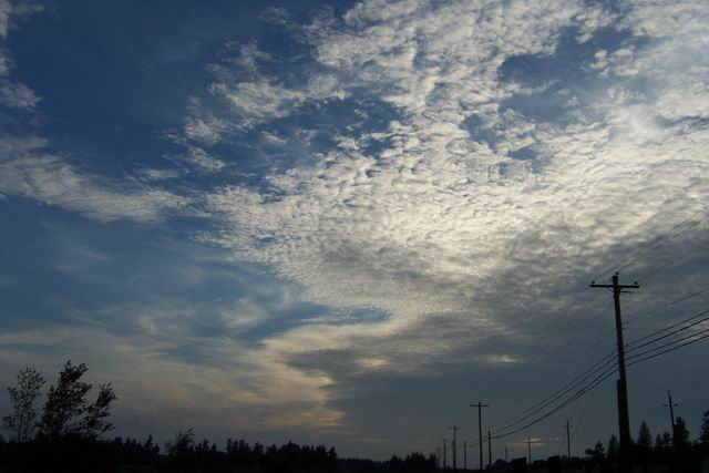
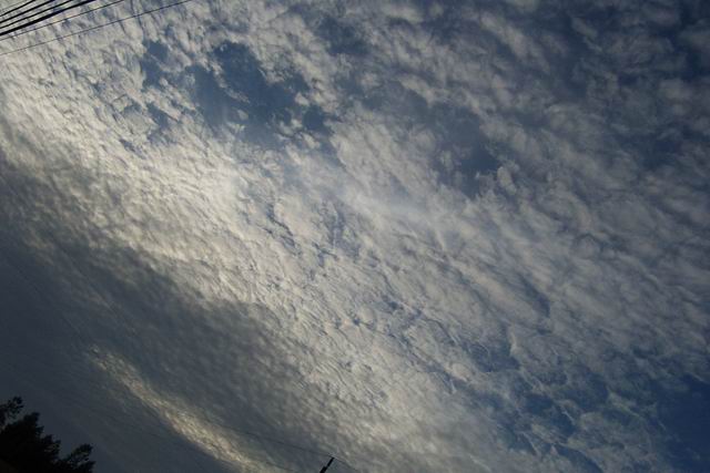

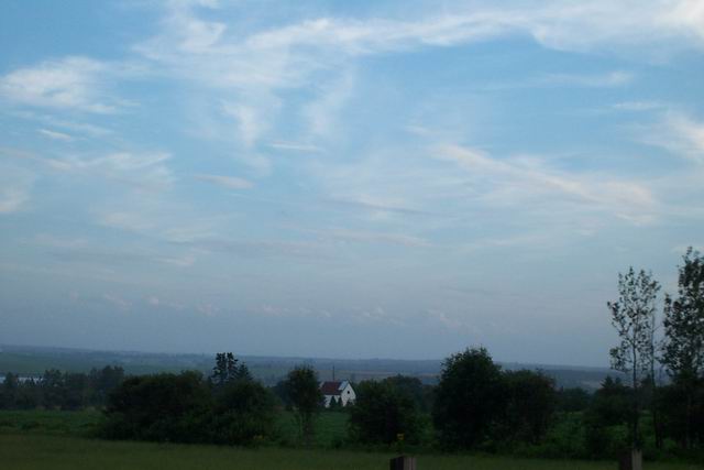
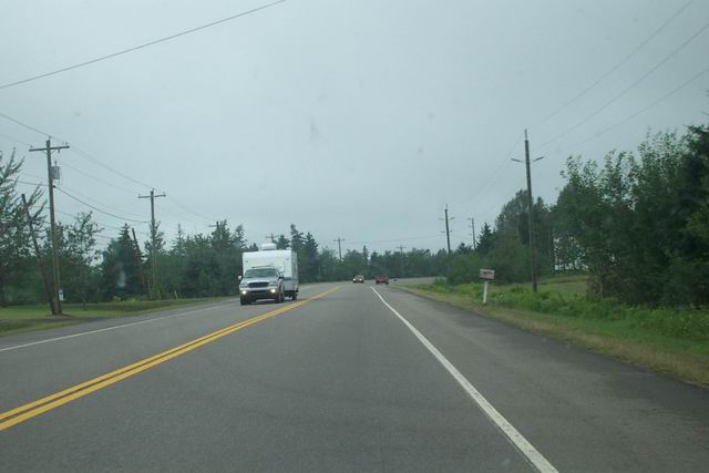
Some more Highway 2 pictures:
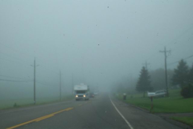
Fog in Souris West.
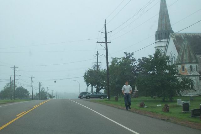
The church in Rollo Bay. It's a real b***h to drive through here when
Mass lets out. Delays of up to five minutes are not uncommon. (There you
go, George Orwell, I used "not-un." I'm sorry; please believe me when I
tell you that I've been trying to avoid it, but sometimes it really is
the best thing to use.)
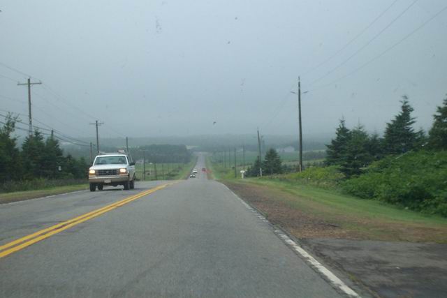
The straight, flat stretch leading to Fortune. A good place to pass,
though there are probably more accidents here due to impatient drivers.
Fortune.
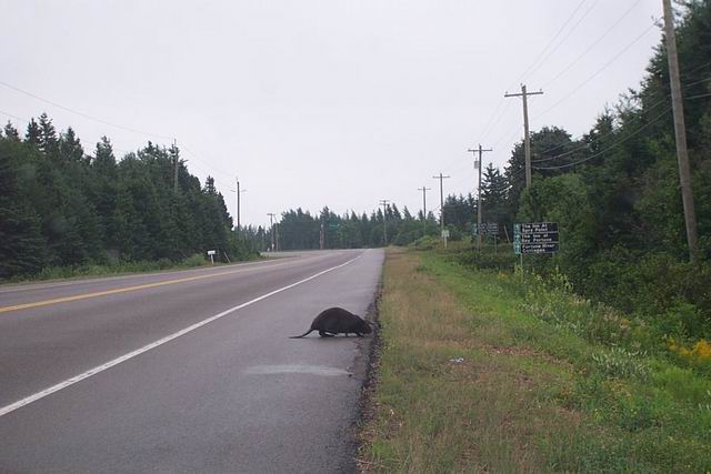
A beaver alongside the road in Fortune. Finally, a symbol of Canada
for willmatheson.com!
Some Highway 4 pictures:
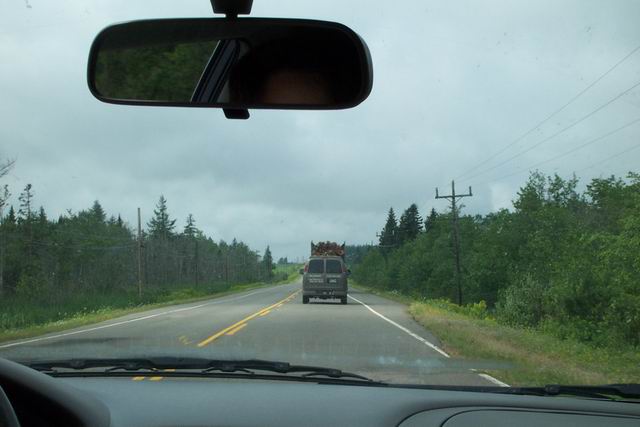
"The Seven Mile Road" between Bridge"town" and Cardigan.
Outside Cardigan, near the intersection of 4 and 313.
Two Route 5 pictures:
Back to Nova Scotia (this gets better, I promise):
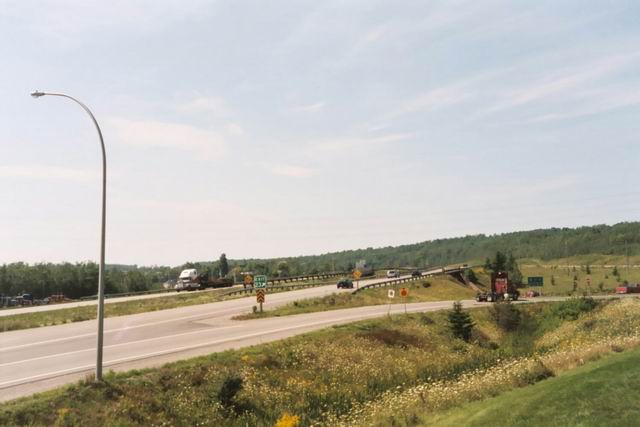
Highway 104 (part of the Trans-Canada Highway) at Exit 23 (Westville),
near New Glascow.
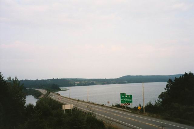
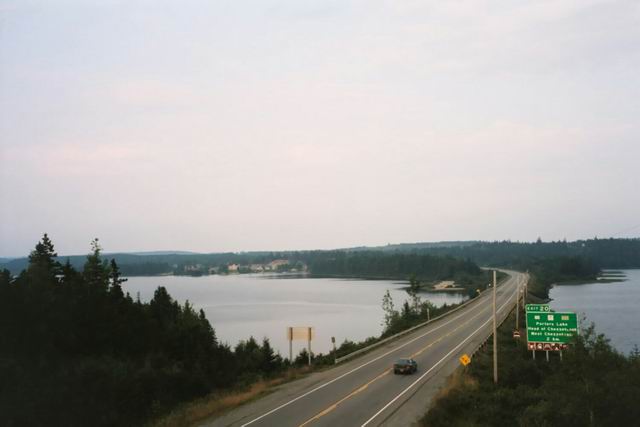
Some shots from Highway 107 at Exit 19 (Porter's Lake). 107 is one
of my favourite 100-series highways, it's rather scenic and there are plenty
of passing lanes. Now if they'd only build it out to Sheet Harbour... (dream
on, William).
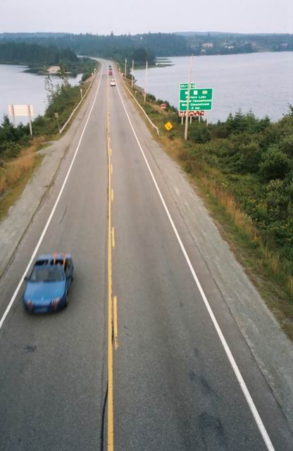
Oh, that's so cool! Thanks, man! Look closely at the blue convertible.
Too bad I was using 200-speed film.
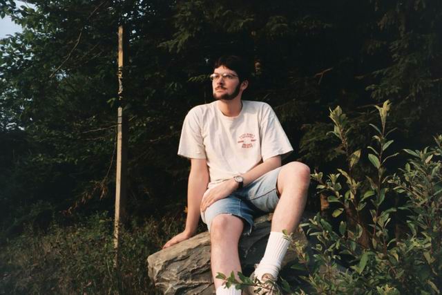
Photo courtesy the only other photographer I trust: the self-timer.
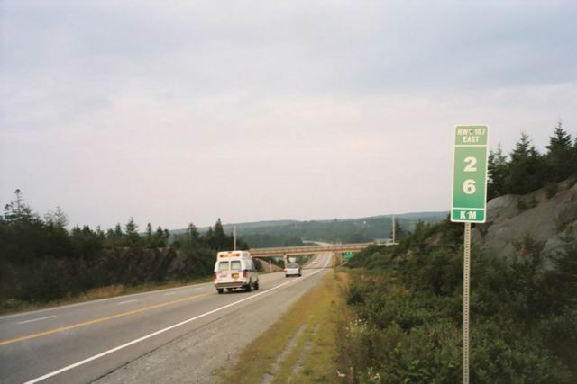
I love these new "mileage" signs! Now they just need to number the
exits accordingly, like Ontario, Québec, and New Brunswick have
already done (and Maine, our other close neighbour with expressway roads,
is doing). If the NSDOT needs an indication of how ridiculous sequence
exit numbering is, they can look to our neighbour Newfoundland and Labrador
for an example: "Exit 2" on Highway 1 occours a healthy 133 kilometres
away from Channel-Port aux Basques, and 211 kilometres separate Exits 16
and 17.
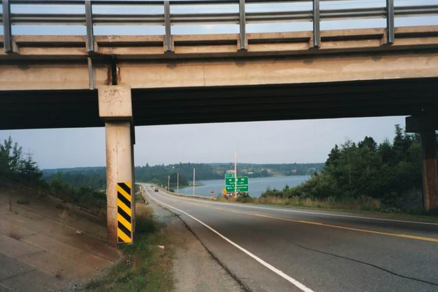
We mighn't have agreed to wait for my mother here had we known it was
truly just an "exit" - I had a suspicion about this, but by the time we
were on the road, it was too late. So, we simply drove through Porter's
Lake on Trunk 7 until the next opportunity to get back on the highway came
along. (The access road (former 107) was poorly indicated, the signs only
mentioning that you could go back to Dartmouth (they evidently didn't change
the signs after the 107 was extended), but I knew better from memory, and
then we were back on the 107 for all of maybe a dozen kilometres until
it came to its premature end before Musquidobit Harbour.